
Our professional drone services include FPV (First-Person View) capabilities for two participants plus the pilot. This allows you and your client, supervisor, architect, or project engineer to collaborate on-site while conducting a real-time aerial survey.
View the live camera feed in flight, discuss project details, and gather accurate, high-resolution data from a first-person aerial perspective.
Adventure Tourism
Our drones use 6x zoom to capture 4K video from a safe distance without disrupting your guests’ outdoor adventure.
Guests stay fully engaged in the moment while we capture high-resolution images from multiple angles for lasting memories.
No interruptions, just professional, cinematic footage of their thrilling journey through nature or extreme terrain.
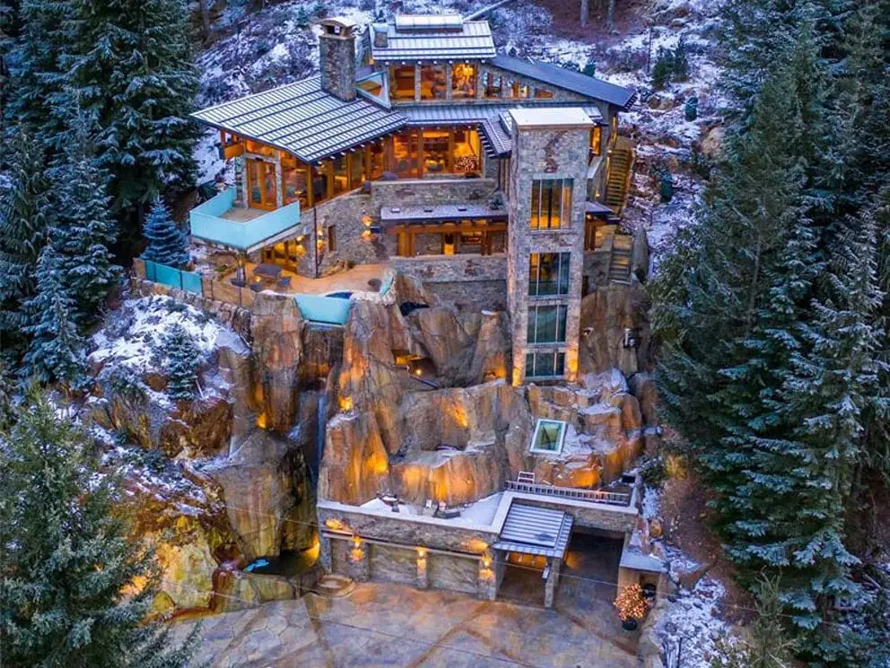
Architects (Structural and Landscaping)
Capture critical site data with high-resolution aerial imaging to support your architectural planning, budgeting, and design accuracy.
Use bird’s-eye views to visualize site layout and structure placement before breaking ground or finalizing project details.
Enhance presentations with cinematic fly-throughs, close-ups, and confined space imaging, all in sharp 4K video and high-resolution stills.
Showcase completed projects from every angle to impress clients and strengthen your architectural portfolio with compelling visuals.
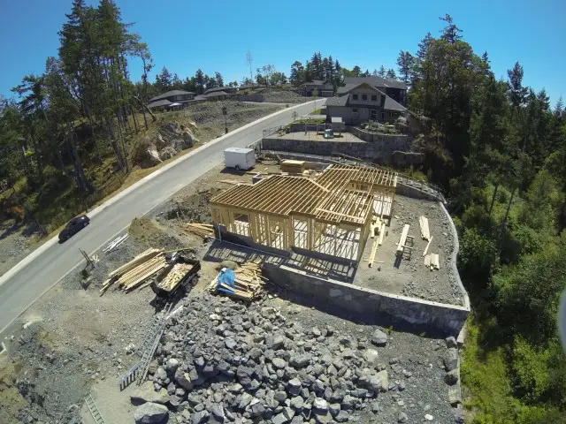
Contractors & Developers
We fly into crawl spaces, under buildings, and attics using FPV so you can watch inspections live.
Our drones capture high-resolution video and images of mechanical, electrical, roofing, and structural elements in tight spaces.
FPV drone flights during construction help builders and contractors monitor daily progress and keep the site organized.
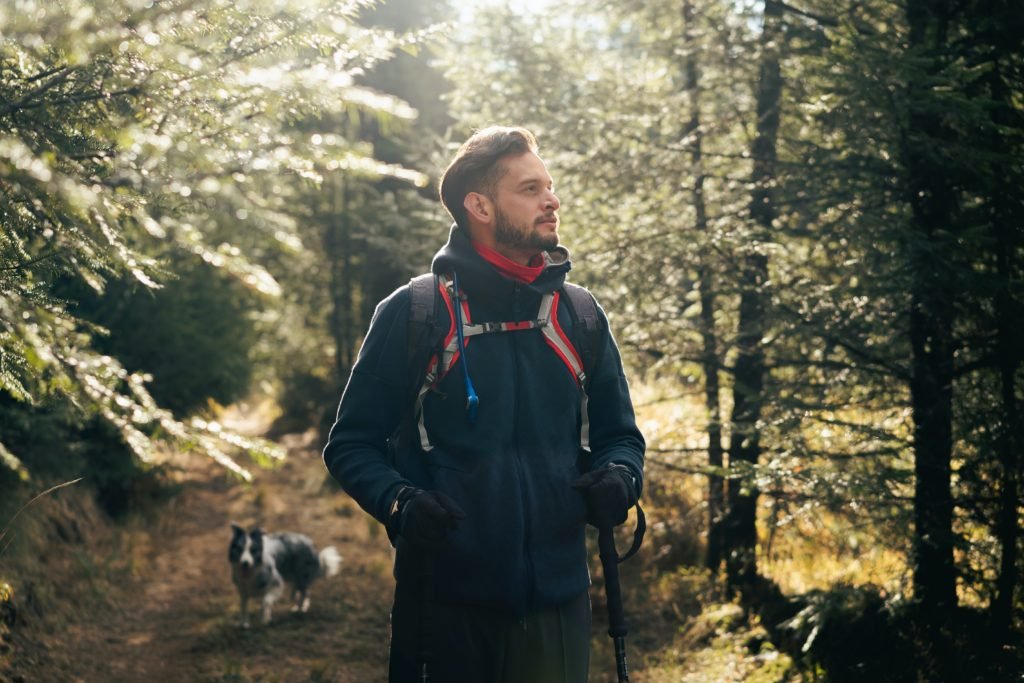
Environmental
FPV goggles let you guide the pilot to capture precise aerial imaging tailored to your environmental needs.
Our drones cover large land areas faster and safer than on-foot surveys, avoiding hazards like wasp nests or holes.
We survey creeks, waterways, wetlands, and dense forests without disturbing sensitive ecosystems.
FPV drone surveys offer a fast, safe method for environmental monitoring, cleanup oversight, and risk assessments.
Golf
In about five minutes per hole, our drones capture detailed high-resolution aerial imaging and stunning 4K video from multiple angles. This provides comprehensive visual coverage of fairways and greens for golf course analysis and marketing.
Flying approximately 10 feet above the fairway reveals how it plays from the tee to the green, helping with course design and maintenance planning.
At the green, flying 2 to 3 feet above the fringe allows you to clearly see slopes, breaks, and contours that affect putting performance. Circling the green from about 10 feet above captures its full layout, providing a clear view of the green’s shape and flow.
Aerial imaging helps potential golfers and clients understand yardage and green flow, which is vital for player strategy and engagement. The bird’s-eye views of fairways and greens also support promotional efforts, giving your course a professional and visually appealing presence online.
With this detailed aerial perspective, golf course managers can make better decisions on turf management, hazard placement, and overall course improvements. Plus, golfers benefit from a clearer understanding of each hole’s challenges, enhancing their playing experience.
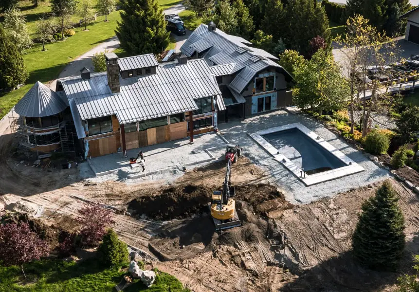
Land Development
Explore your land safely and efficiently with our FPV (First-Person View) drone technology. Two users can wear FPV goggles to view a live drone feed in real time, giving you a ground-level view of the terrain.
Unlike traditional aerial drones that miss details under tree canopies, our drones capture close-up views of land features and obstacles. This allows for accurate site assessments, faster land prep planning, and better budget forecasting.
Drone scouting over rough or wooded terrain is not only faster but also significantly safer than walking the site. It’s the smart way to plan your land development project.
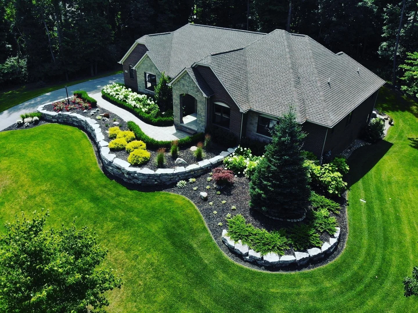
Landscaping
Use bird’s-eye drone imaging to scout property and visualize site layout before breaking ground. This overhead perspective supports early-stage design planning and helps generate creative development ideas.
Throughout construction, aerial monitoring offers a reliable way to track progress and identify issues early. Once the project is complete, professional aerial footage beautifully showcases the finished result.
Including drone imagery in your client estimates adds value and strengthens your proposal with compelling visual insights.
Ready to get started? Contact us today to discuss your project and request a quote.